Choose the Short Version Before You Start
At Nickerson State Park in Brewster, a short autumn outing can begin on the Cliff Pond trail without committing to the entire circuit. DCR describes the full walking loop as 3.2 miles and moderate, with signed trailheads at the end of Flax Pond Road, Campgrounds 4 and 6, and Fisherman’s Landing. For this plan, use the Flax Pond Road start and return along the same path at a time agreed before leaving the car.
The complete loop is the documented distance. A timed out-and-back has no fixed mileage: pace, pauses and the point where you turn determine its length. Choose the full circuit only if the group has enough daylight and time for that longer walk.
Find the Correct Start on the Park Map
The park entrance is at 3488 Main Street, Brewster, on Route 6A. Download DCR’s trail map before travelling. It labels Flax Pond Road and shows parking at its end between Cliff Pond and Little Cliff Pond. Identify Cliff Pond on the map, then use the signs for its land trail; taking the smaller pond’s circuit would be a different route.
The map distinguishes dotted hiking trails from bicycle trails and roads. Keep track of the start and of any junction you pass so you can retrace the same route. If the parking approach is closed or you cannot identify the intended signed trail, stop and ask park staff rather than treating a nearby path as an equivalent start. An added walk from another lot changes the return-time calculation.
Expect a Woodland Pond Trail
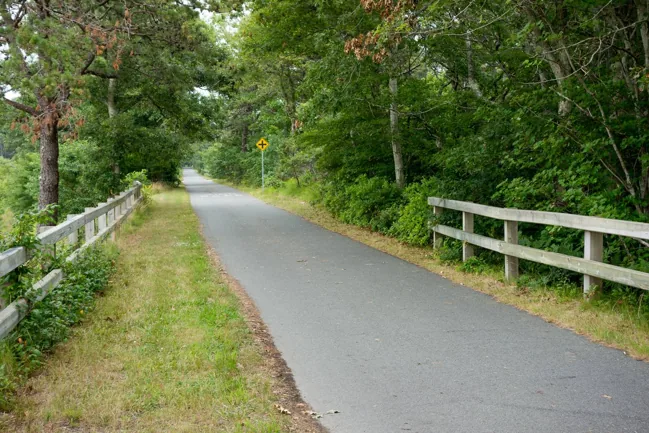
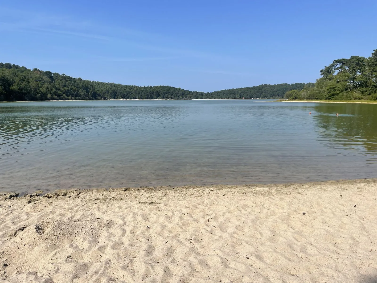
DCR describes the Cliff Pond circuit as passing sandy beaches, pitch pine and dry oak woodland. The moderate rating applies to the full loop. For a wheelchair or stroller, establish the actual surface and access before choosing a section. Ask the park about the actual section and your needs at 508-896-3491.
Keep the walk on the land trail; do not cross the pond or use ice as a shortcut. DCR advises suitable footwear, a map, water and keeping the group together; its guide also cautions that some park trails may be poorly marked.
Set a Daylight Turnaround
Nickerson’s published hours are sunrise to sunset. Check the day’s sunset and weather before setting a return deadline, then leave a generous margin for the journey back to the vehicle and out of the park. Do not use twilight as extra trail time.
For example, a group might choose a 1 p.m. start, turn back after no more than 30 minutes and plan to reach the car around 2 p.m. This is a planning example, not a measured walking time or a guarantee of conditions. Turn earlier if the return is likely to be slower, the footing deteriorates or the route becomes unclear.
Recheck Access and Facilities
The official park page and the currently linked map and hiking sheet were checked November 3, 2026. The map carries a 2015 date; use it for layout and DCR’s current park and alerts pages for notices. The alerts dashboard is the place to check reported closures, not evidence by itself that every trail is clear.
The park page currently lists group day use as closed. It lists restrooms and showers among facilities without confirming November operating hours. Ask about toilets, water and the Flax Pond Road vehicle approach if they are essential to the outing. If that start or an essential facility is unavailable, choose another outing after checking its own distance and access.