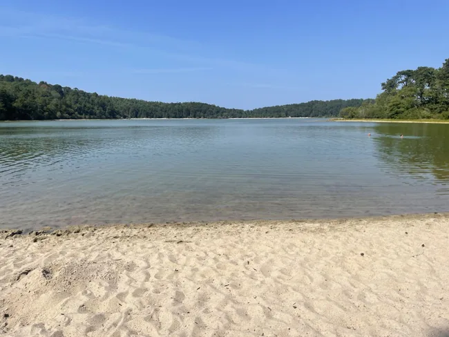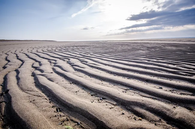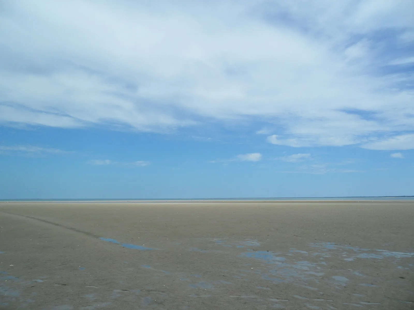
Plan to watch the flats from shore
This worksheet is for a short visit that stays on the mainland shore near an established public entrance. It does not plot a route across exposed flats. Choose a turnaround point that keeps the whole outing beside that entrance; do not cross creeks, wade through channels or follow the retreating water offshore. If that limited visit does not suit the conditions, change the outing.
The useful question is what the shoreline might look like during the time you can comfortably be there. A low-tide time cannot tell you that a sandbar is reachable, that a channel is crossable or that a return path will remain dry.
Use the station name, not just a town label
NOAA station 8447241 is SESUIT HARBOR, EAST DENNIS. It is on Cape Cod Bay in Dennis, not a gauge at a Brewster beach. The Gulf of Maine Council’s 2015 GeoTour publication links that station for its Brewster tidal-flats site. That supports using it as a regional reference here; it does not establish an exact time correction for every Brewster entrance.
Use NOAA’s own station page and retain the station number on your worksheet. This guide does not substitute a south-side Cape or Atlantic-facing tide table. Nor does it carry forward the old GeoTour’s offshore activity instructions: the present plan stays at the mainland shore.
Copy these fields before selecting a visit time
Write down: visit date; NOAA station 8447241; time setting; units; vertical datum; predicted low tide; the high tide before or after it; intended arrival; intended departure; daylight limit; exact beach entrance; and the place you will remain beside that entrance. Leave no time without its date and a.m./p.m. label.
In NOAA’s prediction controls choose LST/LDT, which follows local standard or daylight-saving time as appropriate, rather than GMT. If you select feet and MLLW, preserve both labels with any height you copy. MLLW means Mean Lower Low Water, a reference level: a listed negative height does not mean the whole beach is dry. Save the dated result so a later screenshot of a different day does not replace your plan.
Worked example: November 9, 2026
The NOAA request checked for November 9, with LST/LDT, feet and MLLW selected, returned low water at 4:38 a.m. (0.718 feet), high water at 10:52 a.m. (10.675 feet), low water at 5:10 p.m. (−0.222 feet), and high water at 11:23 p.m. (9.444 feet). These are predictions at Sesuit Harbor, not observations at a Brewster entrance.
The early low is before Brewster’s 6 a.m. beach opening, so it fails the access check. The afternoon low is not an instruction to stay until 5:10 p.m. Record the daylight limit for the actual visit date and use the earlier limit if that shortens the outing. If the daylight visit misses low tide, accept a different view of the flats. Do not move the route farther offshore to compensate.
Choose a public entrance and separate its services
Brewster’s municipal list distinguishes Breakwater (Upper) Beach from Breakwater Landing, and identifies Paine’s Creek Beach as another public bay access. First Light Beach is restricted to Brewster residents. Record the exact listed entrance, rather than writing only ‘the Brewster flats.’
The town states beach hours of 6 a.m.–10 p.m., designated-space parking only and no overnight parking. Its seasonal parking-permit period runs June 15 through the Sunday of Labor Day weekend; a permit does not guarantee a space. Portable toilets are listed from Memorial Day through the October holiday weekend, except at Spruce Hill and Breakwater Landing. A November shore visit therefore needs a separate bathroom plan. The town lists summer lifeguards only at Long Pond, not these bay beaches.
Add the conditions check to the worksheet
NOAA explains that astronomical tide predictions do not account for the effects of wind, rain, runoff and other short-term weather. The timing of high or low water also does not establish when currents stop. Those limits are especially relevant when a photograph makes a creek or flat look like an uninterrupted walking surface.
Complete a final line: forecast and coastal alerts checked at what time; signs or barriers at the entrance; whether the intended shore position is usable; and the departure time everyone agrees to. Cancel this shore plan if reaching or keeping that position would require entering water, crossing a channel or leaving the established access. Never use ‘one hour either side of low tide’ as a safety rule.
Keep the worksheet with the saved prediction. On another day, fill it in again rather than adjusting yesterday’s times by a guessed interval. The outcome is a modest shore visit with an understood view and exit, not a tide-derived permission to explore offshore.