Start at Herring Run with the map open
The Corps’ Bournedale Hills map marks the trailhead at Herring Run Recreation Area on Scenic Highway, with trail parking there and at Three Panel Overlook. Both are on the canal’s north bank.
Choose the wooded loop or a service-road outing before leaving the car.
Keep the two mileage descriptions separate
The map labels the interpretive loop 0.4 mile and the full trail 1.2 miles; the recreation webpage instead gives 0.8 and 1.4 miles. These conflicting descriptions were checked November 7, 2026.
Ask the Canal Field Office about the discrepancy if a measured distance matters.
Decide about the stair connections
The map puts the short loop near Herring Run and marks stairs between the woodland trail and North Service Road, including near Three Panel. Bicycles belong on the service roads; the woodland trail excludes them.
If stairs would make the return impractical, choose a turnaround on the route already used. For a separate service-road outing, confirm an entrance that works for the group. Ask about surfaces and gradients before committing to a route; the schematic map is not an access assessment.
Check November facilities and choose a turnaround
The Corps says canal flush toilets normally operate from mid-April through Columbus Day weekend, with portable toilets at most locations afterward. That does not confirm a toilet at every particular entrance. Its visitor center’s listed 2026 season ended October 25, so it is not a November indoor fallback.
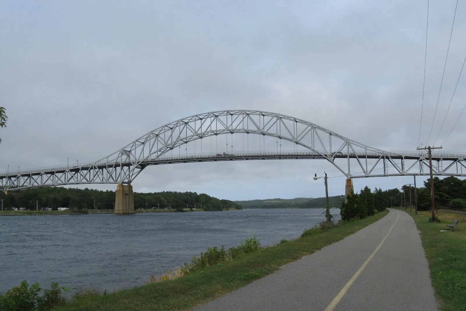
The North and South Service Roads are paved, but remain working canal infrastructure. The Corps’ safety page explains that maintenance vehicles use them. Obey restrictions and turn back at a barrier; this guide identifies no active closure or authorized detour.
Set a return-to-car time before starting and shorten the walk if conditions or the route do not suit the party. For current access or facility questions, the Canal Field Office lists 508-759-4431.